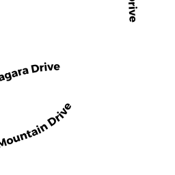
19 FORT NIAGARA DRIVE
Owner Information
PACE SANDRA A
19 FORT NIAGARA DRIVE
WEST BOYLSTON, MA 01583


Property Details
19 FORT NIAGARA DRIVE is classified as a Single Family Residential (Ranch).
The primary structure on this property was built in 1992. There are 4,852ft2 of built area within this property. There is 1,991ft2 of residential/living space within this property. This property is listed as having 5 rooms.
19 FORT NIAGARA DRIVE is valued at $408,500. The land is valued at $113,700 and the structures are valued at $292,400. There is an additional valuation of $2,400 on this property.
This property is in Zone SR. Confirm with local Zoning Board authorities to ensure there are no overlays or other easements on this property.
The most recent deed for 19 FORT NIAGARA DRIVE is recorded at the local registrar in Book 53341, Page 0380. 19 FORT NIAGARA DRIVE was last sold on Friday, February 6, 2015 for $100.
Assessment data from fiscal year 2022.
Flood Data
According to the FEMA National Flood Hazard Layer, this property does not appear to be in a flood zone. It may also be in an area not yet reviewed. Nonetheless, confirm this information prior to taking any action.
To view the flood hazards around this property, create a FEMA "Firmette" Map of the area around 19 FORT NIAGARA DRIVE.
Broadband Internet Providers
| Provider | Type | Bandwidth (mbps) | |
|---|---|---|---|
| VSAT Systems, LLC. | Satellite | 2 | 1 |
| Viasat Inc | Satellite | 100 | 3 |
| Verizon New England Inc. | DSL | 5 | 0 |
| Charter Communications Inc | Cable | 940 | 35 |
| T-Mobile | Fixed Wireless | 25 | 3 |
| GCI Communication Corp. | Satellite | 0 | 0 |
| HughesNet | Satellite | 25 | 3 |
Broadband service provider data from December 2020.
Adjacent Properties
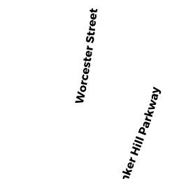
- 73 BUNKER HILL PARKWAY
Single Family Residential owned by CONVERY BENJAMINI A & REID STACY L - 77 BUNKER HILL PARKWAY
Single Family Residential owned by WELCH BRIAN T & LISA M - 30 KINGS MOUNTAIN DRIVE
Single Family Residential owned by KHAN REHAN & SALMA - 38 KINGS MOUNTAIN DRIVE
Single Family Residential owned by GUSTAFSON, SARA C - 34 KINGS MOUNTAIN DRIVE
Single Family Residential owned by BUCK RAYMOND M III - 15 FORT NIAGARA DRIVE
Single Family Residential owned by CHILA ROSS M & CARISA A - 22 KINGS MOUNTAIN DRIVE
Single Family Residential owned by HOISINGTON JEFFREY SCOTT